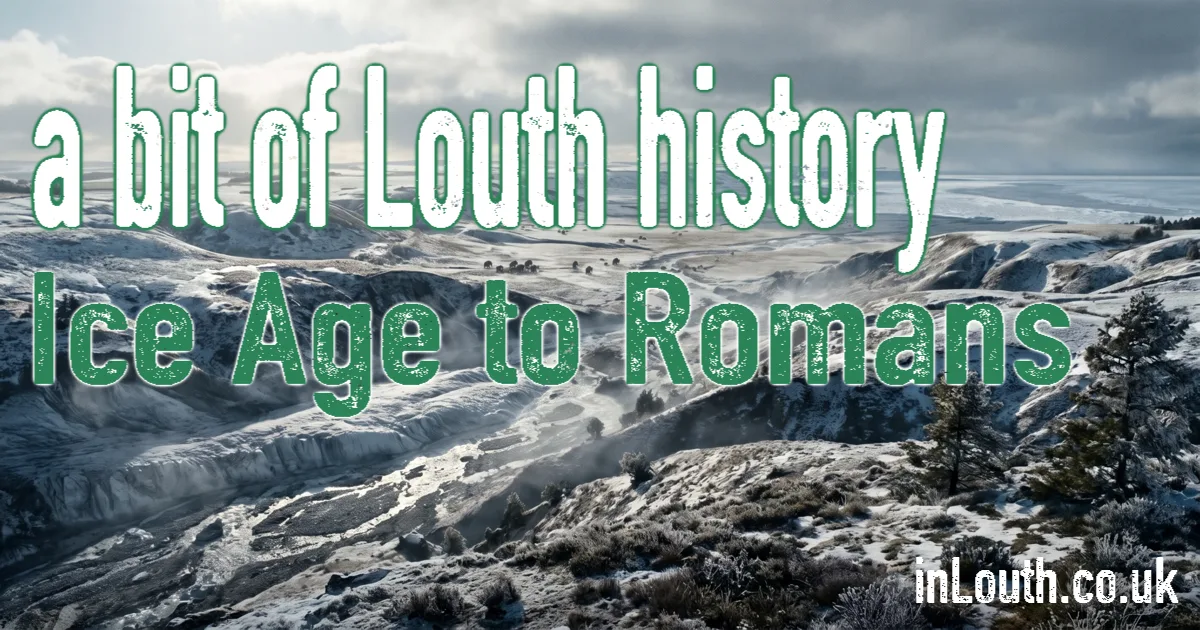
Long before Louth existed, ice, water and the people who hunted and farmed the Wolds were shaping the landscape around it. This page covers the deep past, up to the end of Roman Britain.
A Landscape Made by Ice and Water
The Lincolnshire Wolds are made of chalk and other rocks laid down under the sea many millions of years ago. Successive ice ages then reworked the land. The Anglian glaciation, between about 478,000 and 424,000 years ago, transformed eastern England, and later ice sheets pressed against the eastern edge of the Wolds.
Louth sits where the Wolds meet the flat Marsh that runs to the coast. Its best-known landscape, Hubbard's Hills, is a steep-sided valley far bigger than the gentle River Lud could ever have carved. It was cut by meltwater escaping from the ice; Louth Town Council dates this to around 40,000 years ago.
The First People: Around 400,000 Years Ago
The oldest evidence of people near Louth comes from a gravel quarry at Welton le Wold, about three miles west of the town. Three flint handaxes and a worked flake were found there alongside the bones and teeth of straight-tusked elephant, red deer and horse.
Dating of the gravels suggests the tools were probably made during a warm period between about 424,000 and 374,000 years ago, so "around 400,000 years ago" is a fair working date. The finds had been moved by later ice and water, so they show that people were in the area, not that they lived on that exact spot.
Much of the ancient landscape east of the Wolds was later washed away by the sea, which is one reason so little early evidence survives. Between about 10,000 and 6,000 years ago, hunter-gatherers left scattered stone tools across the Wolds, still turned up by the plough today.
Farmers, Burial Mounds and Old Routes
Farming arrived in the Neolithic, from about 4000 BC. Its most lasting monuments are long barrows, communal burial mounds. Nearly 60 are known across the Wolds, though many survive only as marks in crops seen from the air.
From around 2000 BC, Bronze Age people built round barrows, each usually for one important person or family. More than 350 are known in the Wolds, showing that the uplands were a busy, settled and sacred landscape well before any written records.
People also needed routes through the landscape. Barton Street, which runs along the eastern foot of the Wolds and through Louth, is thought to be an ancient route, linking the Humber to the south. It's a likely reason why a settlement later grew where it crossed the Lud.
The Roman Countryside
After the Roman conquest, the nearest Roman towns were at Horncastle and Caistor. The countryside around Louth was farmed and settled. At Welton le Wold, cropmarks, pottery and more than 300 Roman coins point to a substantial Romano-British settlement, possibly a villa estate raising livestock. A rare silver pin from the late fourth or fifth century hints at a wealthy household there as Roman Britain came to an end.
Was Louth a Roman Town?
No. Roman objects have been found in Louth, but there's little evidence of a Roman settlement in the town itself. You may see the name "Luda" used for Louth, but that's a medieval Latin form of the name, not evidence of a Roman town. Louth's story as a town begins with the Anglo-Saxons, covered in Anglo-Saxon and Viking Louth.
Sources and Further Reading
- Caitlin Green, The Welton le Wold handaxes
- Lincolnshire Wolds National Landscape, archaeology of the Wolds
- Louth Town Council, Hubbard's Hills
- Lincolnshire Heritage Explorer: Louth