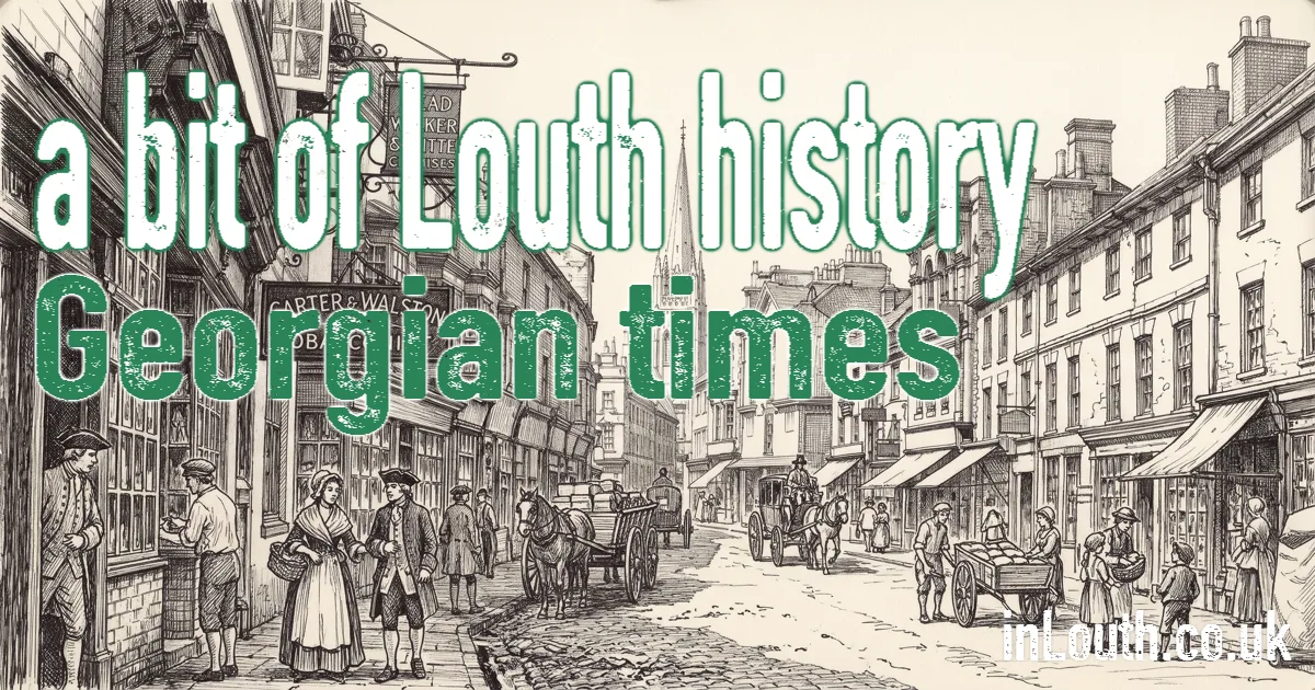
For centuries, Louth's trade had to travel by poor roads to the harbours at Saltfleet and Grimsby. In the eighteenth century the town solved that problem with a canal of its own, and the money that followed built much of the Louth you see today.
Turnpike Roads
In the second half of the eighteenth century, turnpike trusts improved the roads out of Louth, charging tolls to pay for their upkeep. Better roads linked the town with Lincoln, Horncastle, Grimsby, Saltfleet and further afield, and carriers' carts and coaches worked alongside the boats on the new canal.
The Louth Navigation
An Act of Parliament authorised a canal from Louth to the Humber in 1763. The engineer was John Grundy Junior of Spalding, one of England's first trained civil engineers, who had surveyed the route in 1756.
Digging began in 1765, all by hand, with a workforce of more than a hundred men. Grundy had estimated the cost at £14,000, but the money ran out at Firebeacon, near today's Covenham Reservoir, and the same again had to be raised to finish the job. A planned terminus closer to the town centre was dropped because two more locks would have cost too much.
The canal opened on 20 May 1770. It ran about 12 miles from Tetney, on the coast near the Humber, through the Marsh by Alvingham, climbing about 17 metres through eight locks to Louth. The locks were unusual: the top six have barrel-shaped arches in their walls.
Riverhead: Louth's Inland Port
The canal ended at Riverhead, on the east side of the town, and it soon became an industrial quarter. Humber keels and sloops brought in coal and timber, and carried out wool and corn. Warehouses, granaries and maltings rose around the basin, alongside breweries, tanning, rope-making and other trades. In 1790, more fish was landed at Louth than at Grimsby.
The town grew eastwards towards the canal. Some of the old warehouses survive, and today Riverhead is home to the Riverhead Theatre. The Louth Navigation Trust works to look after the canal corridor and hopes one day to reopen it.
A Georgian Town
Canal trade and good farming years brought money into Louth, and merchants, lawyers and doctors spent it on fine brick houses. The street plan is medieval, but much of what lines the streets today, especially around Westgate, dates from the Georgian and early Victorian years. That's why the town can feel medieval in its layout and Georgian in its looks.
In the early nineteenth century, Thomas Espin built The Priory on Eastgate, a Gothic-style house that is sometimes mistaken for a medieval monastery. It has no connection with Louth Park Abbey.
Growth and Change
The first census in 1801 counted 4,258 people in Louth. The open fields around the town were enclosed early in the nineteenth century, redrawing the farmland into the hedged fields familiar today. The years from about 1820 to 1850, with the canal in full swing, were the town's greatest period of growth, which carries on into Victorian Louth.
Sources and Further Reading
- Louth Museum, the construction of Louth canal
- Louth Navigation Trust
- Lincolnshire Heritage Explorer: Louth
- Louth Town Council, Saxon times to the 20th century